Meteorology is a real science and you have to rely on experts to have reliable weather forecasts.
Especially for those who go to sea in navigation it is important to use accurate and accurate forecast models; there are many free and numerous paid platforms, but they are not all the same.
The forecasts on the internet or ON TV "They're fine when you have to decide whether or not to bring the umbrella, but those who sail, and in particular the cruiser, need a specific forecast for coastal navigation" says Riccardo Ravagnan, meteorologist and Services & Forecast Manager of Meteomed.
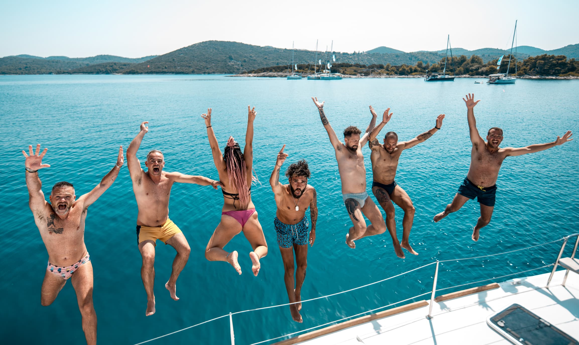
When sailing, indeed, it is not enough to know what time it will do in a given place or mooring, a precise set of information is needed concerning the state of the wind and the sea to facilitate and plan the route, docks and re-entry. Skipper has a great responsibility on him, on the crew and on the boat itself; it must also be taken into account that often those who go to sea for holiday purposes cross waters unknown to him, thus not knowing the local micro-weather.
Meteorology being a deterministic science, subject to the laws of the Lorenz chaos, also known as the "butterfly effect", is characterized by a strong variability and uncertainty, due to numerous parameters of variation. A small change of one of them, can lead to different predictions in the various weather models.
On the internet there are numerous free forecast platforms, each of which follows a different weather model -European, American etc- based on static mathematical models and therefore subject to errors: these platforms lack human review, the entry of parameters of momentary variability and therefore the use of the best possible weather model depending on the area taken into account. Not all models are effective in all places.
In areas such as the Mediterranean, for example, subject to microclimatology phenomena difficult to predict (heat storms, tornadoes...), the help of an expert, practical of local phenomena, is essential.
Caution with Grib-files
Grib-files are digital files containing compressed weather data in a format designed by the World Meteorological Organization, containing downloadable model data. To be read correctly, grib-files must be inserted into the on-board navigation system, in order to integrate the plotter's data, obtaining accurate local information.
For the less experienced, however, it must be remembered that they are static data from model, not predictions: so "if you are on a family cruise, and you are not a meteorology expert, let someone think for you and enjoy the cruise" says Riccardo Ravagnagn.
Get real-time updates
In addition to the well-established storm warning on VHF channel 68, there are now real weather alerts specific to the navigation area. To receive an alert call, you choose the three variable reference elements: wind, sea and thunderstorms. If the wind exceeds 20 knots, there is the sea with three meters of wave or a thunderstorm in formation you will automatically receive a text message.
Local alerts are triggered promptly as soon as the weather event of interest is predicted and in unforeseen critical situations, after securing the crew, emergency weather advice can be requested.
In 2020 we have the right technology to have up-to-date, accurate, easy-to-read and personalized weather forecasts.
Which platform to choose?
- Meteomed has a "break"of the Mediterranean in 152 microsectors, each with experts who analyze them 7 days a week. www.meteomed.it
- Navimeteo is a maritime weather forecasting centre in Chiavari, Italy, which has been operating in the Mediterranean since 1989. It follows more than 500 boats and 50 of the most prestigious marines in the world. It provides customers with accurate and reliable weather advice: on-demand bulletins, detailed voyage reports, custom weather panels, ad personam weather alerts, assistance for ocean crossings. www.navimeteo.com
- One platform for those who like to go for Oceoano is Predictwind. Allows you to set up routing taking into account the polars and the future speed that the boat will adopt. It specialized in winds, it was used in the America's Cup and Volvo Ocean Race. It uses European and American weather models and two custom models based on these. www.predictwind.com
- The Squid Sailing French provides all weather models in any area at any resolution. It is a software that offers a "multimodel" function: it automatically compares all the models available for the chosen navigation area and selects the most reliable. www.squid-sailing.com